


0
Ascents

 Lake District C&W
 0
0 561.0
561.0User Activity
No recent Activity
0
Ascents
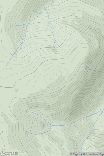
Lake District C&W
0
544.0User Activity
No recent Activity
0
Ascents
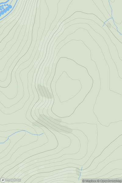
Lancashire, Cheshire and S Pennines
0
318.6User Activity
No recent Activity
0
Ascents
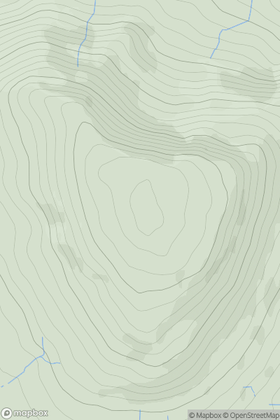
The River Tees to The Wash
0
434.0User Activity
No recent Activity
0
Ascents
Northumberland
0
172.0User Activity
No recent Activity
0
Ascents
South Central England
0
165.0User Activity
No recent Activity