


0
Ascents

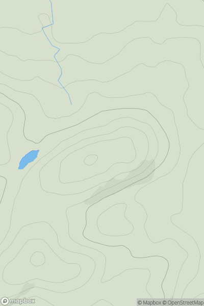
 Lake District S
 0
0 251.0
251.0User Activity
No recent Activity
0
Ascents
South East England
0
130.0User Activity
No recent Activity
0
Ascents
South West England
0
316.0User Activity
No recent Activity
0
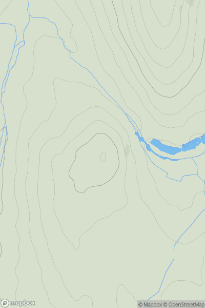
Ascents
Lake District E
0
484.0User Activity
No recent Activity
0
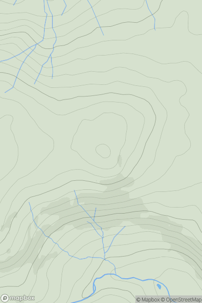
Ascents
Lake District C&W
0
433.0User Activity
No recent Activity
0
Ascents
Central and Eastern England
0
81.0User Activity
No recent Activity