


0
Ascents

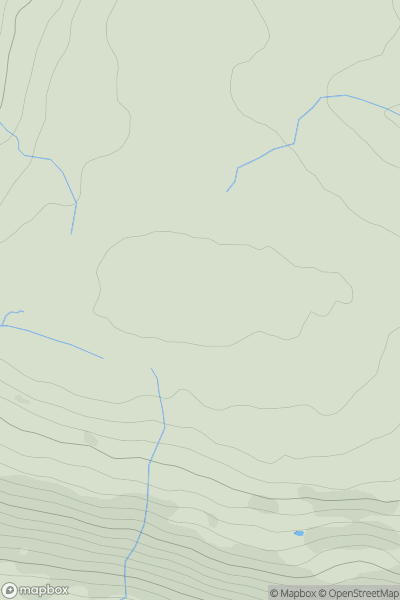
 Central Pennines
 0
0 545.1
545.1User Activity
No recent Activity
0
Ascents
Welsh Borders S
0
221.0User Activity
No recent Activity
0
Ascents
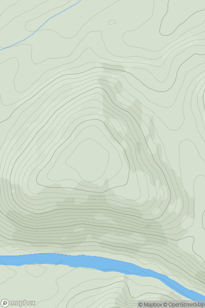
Lake District S
0
264.0User Activity
No recent Activity
0
Ascents
Northumberland
0
77.0User Activity
No recent Activity
0
Ascents
Lancashire, Cheshire and S Pennines
0
422.0User Activity
No recent Activity
0
Ascents
Lancashire, Cheshire and S Pennines
0
496.0User Activity
No recent Activity