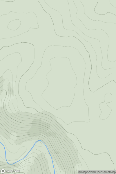
Ariel drone view of mountainous landscape with rolling clouds flowing over peak

Journal your hikes and share your adventures.

Bag peaks across the UK & Ireland, track your progress and see updates from Donder's growing community of hikers.

Donder's profile view available to users after sign-up, shows example user with progress tracking, hiking journal and user leaderboard

Thumbnail image for Wetton Low showing contour plot for surrounding peak
ENG
Icon of location pin
329m
Icon of vertical, double ended, arrow to symbolise height of mountain

Wetton Low

Icon of mountain used to symbolise the number of ascents made by users

0
Ascents

Thumbnail image for Payne's Down showing contour plot for surrounding peak
ENG
Icon of location pin
211m
Icon of vertical, double ended, arrow to symbolise height of mountain

Payne's Down

Icon of mountain used to symbolise the number of ascents made by users

0
Ascents

Thumbnail image for Trevose Head showing contour plot for surrounding peak
ENG
Icon of location pin
74m
Icon of vertical, double ended, arrow to symbolise height of mountain

Trevose Head

Icon of mountain used to symbolise the number of ascents made by users

0
Ascents

Thumbnail image for Green How showing contour plot for surrounding peak
ENG
Icon of location pin
185m
Icon of vertical, double ended, arrow to symbolise height of mountain

Green How

Icon of mountain used to symbolise the number of ascents made by users

0
Ascents

Thumbnail image for Uppacott Down showing contour plot for surrounding peak
ENG
Icon of location pin
337m
Icon of vertical, double ended, arrow to symbolise height of mountain

Uppacott Down

Icon of mountain used to symbolise the number of ascents made by users

0
Ascents

Thumbnail image for John's Cross Hill showing contour plot for surrounding peak
ENG
Icon of location pin
101m
Icon of vertical, double ended, arrow to symbolise height of mountain

John's Cross Hill

Icon of mountain used to symbolise the number of ascents made by users

0
Ascents