


0
Ascents

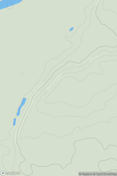
 The River Tees to The Wash
 0
0 86.0
86.0User Activity
No recent Activity
0
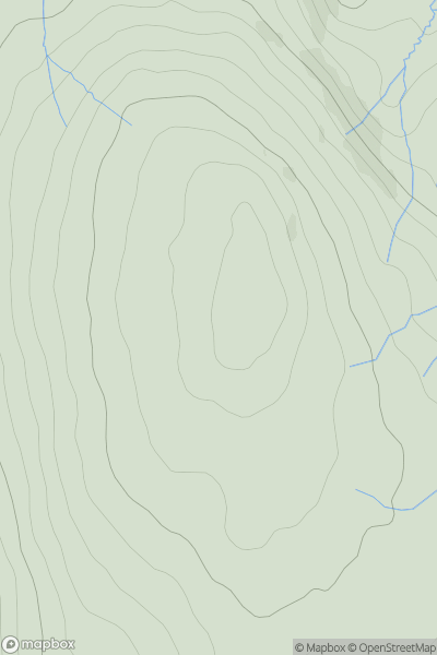
Ascents
Central Pennines
0
535.0User Activity
No recent Activity
0
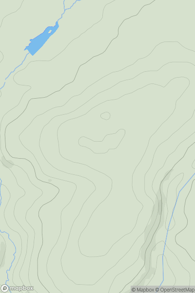
Ascents
South West England
0
244.0User Activity
No recent Activity

0
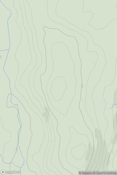
Ascents
South East England
0
167.0User Activity
No recent Activity
0
Ascents
Lake District S
0
130.0User Activity
No recent Activity
0
Ascents
Central and Eastern England
0
232.0User Activity
No recent Activity