


0
Ascents

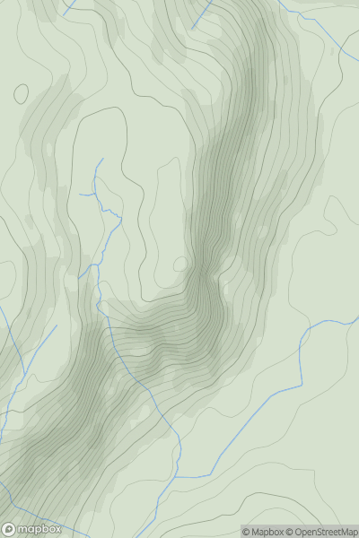
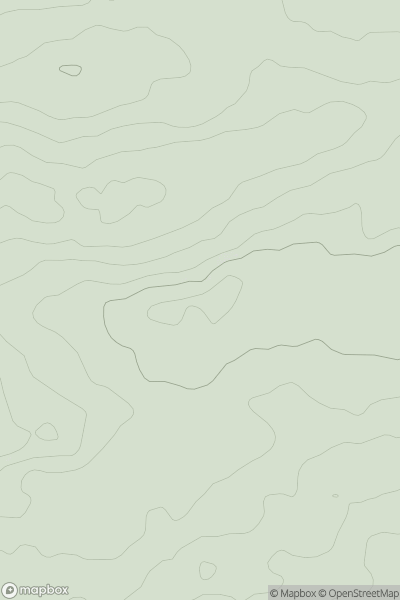
 Lake District S
 0
0 321.0
321.0User Activity
No recent Activity
0
Ascents
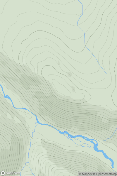
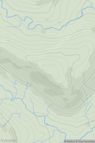
North Pennines
0
477.0User Activity
No recent Activity
0
Ascents
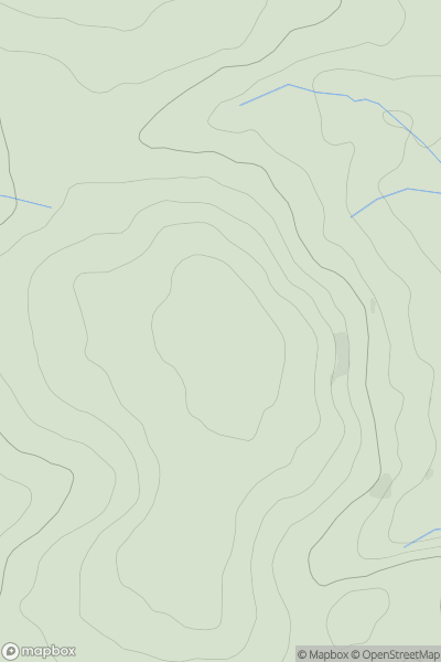
South West England
0
148.0User Activity
No recent Activity
0
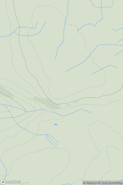
Ascents
North Pennines
0
522.0User Activity
No recent Activity
0
Ascents
South West England
0
70.0User Activity
No recent Activity
0
Ascents
Lake District E
0
495.0User Activity
No recent Activity