


0
Ascents

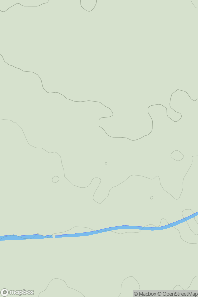
 Central and Eastern England
 0
0 45.0
45.0User Activity
No recent Activity
0
Ascents
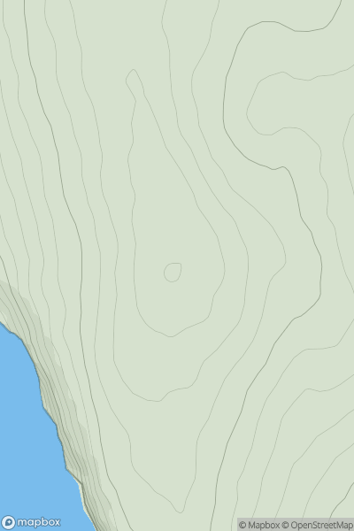
Lake District C&W
0
141.0User Activity
No recent Activity
0
Ascents
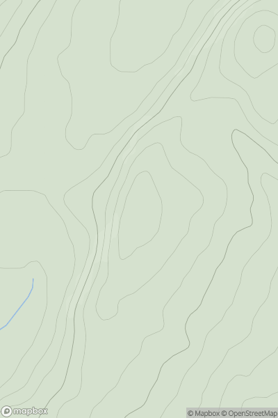
Shropshire
0
286.0User Activity
No recent Activity
0
Ascents
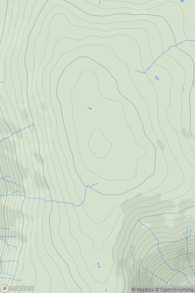
Lake District C&W
0
723.0User Activity
No recent Activity
0
Ascents
South Central England
0
112.0User Activity
No recent Activity
0
Ascents
South West England
0
176.8User Activity
No recent Activity