


0
Ascents

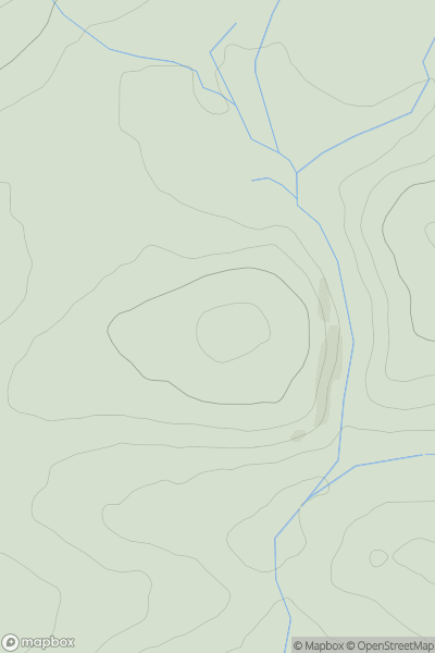
 South West England
 0
0 211.0
211.0User Activity
No recent Activity
0
Ascents
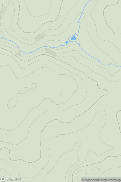
South West England
0
335.0User Activity
No recent Activity
0
Ascents
The River Tees to The Wash
0
46.0User Activity
No recent Activity
0
Ascents
South West England
0
454.1User Activity
No recent Activity
0
Ascents
South West England
0
113.3User Activity
No recent Activity
0
Ascents
South West England
0
132.0User Activity
No recent Activity