


0
Ascents

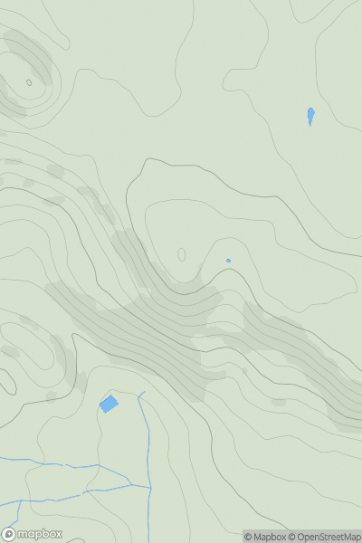
 Lancashire, Cheshire and S Pennines
 0
0 371.3
371.3User Activity
No recent Activity
0
Ascents
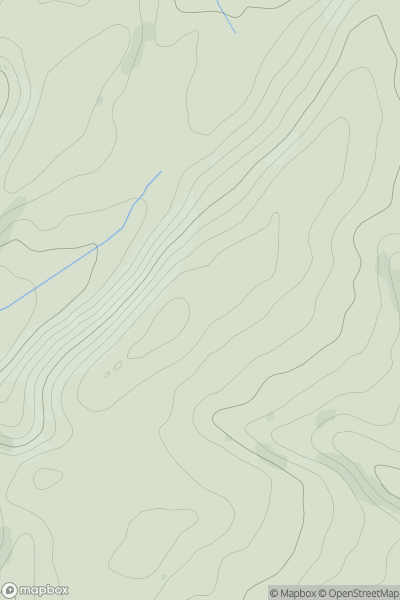
Welsh Borders S
0
292.4User Activity
No recent Activity
0
Ascents
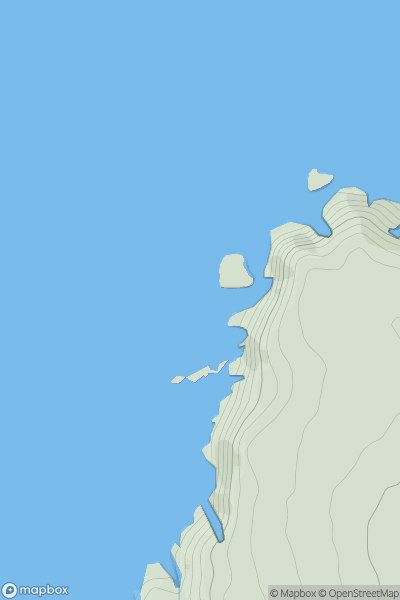
South West England
0
82.0User Activity
No recent Activity
0
Ascents
Lancashire, Cheshire and S Pennines
0
476.0User Activity
No recent Activity
0
Ascents
Welsh Borders S
0
68.0User Activity
No recent Activity
0
Ascents
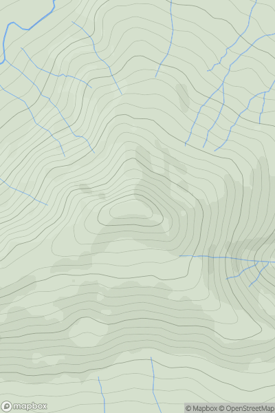
Lake District C&W
0
547.0User Activity
No recent Activity