


0
Ascents

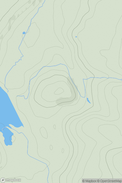
 Lancashire, Cheshire and S Pennines
 0
0 223.0
223.0User Activity
No recent Activity
0
Ascents
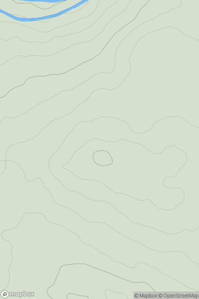
Lancashire, Cheshire and S Pennines
0
152.0User Activity
No recent Activity
0
Ascents
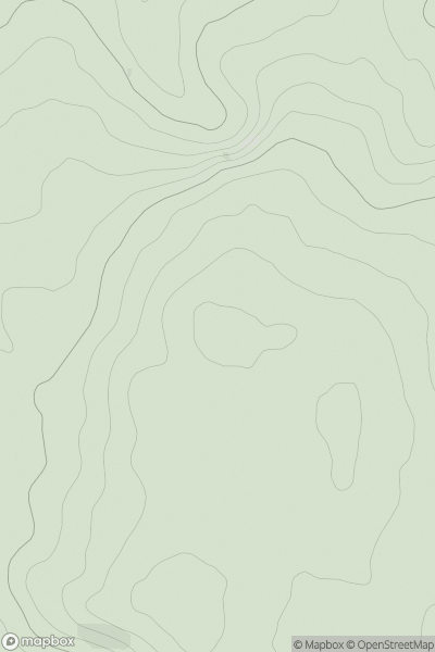
Central and Eastern England
0
253.0User Activity
No recent Activity
0
Ascents
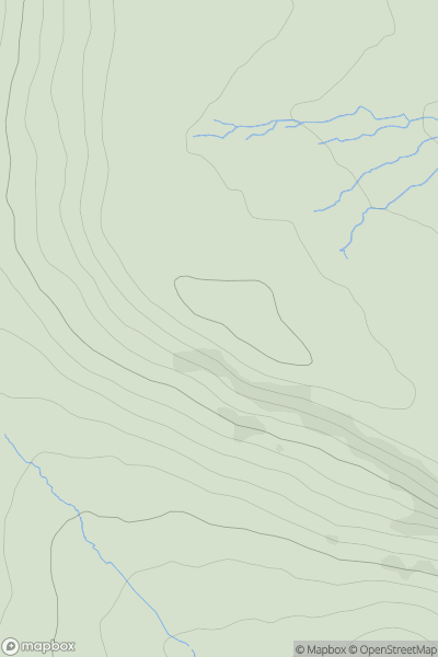
Lancashire, Cheshire and S Pennines
0
458.0User Activity
No recent Activity
0
Ascents
North Pennines
0
474.0User Activity
No recent Activity
0
Ascents
South West England
0
51.0User Activity
No recent Activity