


0
Ascents

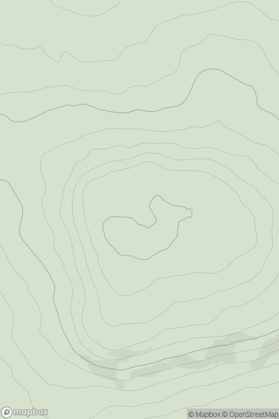
 Lancashire, Cheshire and S Pennines
 0
0 403.0
403.0User Activity
No recent Activity
0
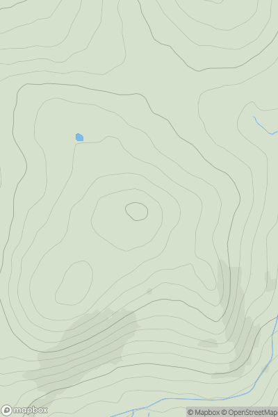
Ascents
South West England
0
412.0User Activity
No recent Activity
0
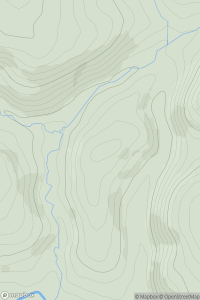
Ascents
Shropshire
0
295.0User Activity
No recent Activity
0
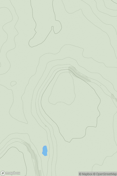
Ascents
South Central England
0
165.0User Activity
No recent Activity
0
Ascents
South West England
0
103.0User Activity
No recent Activity
0
Ascents
The River Tees to The Wash
0
146.0User Activity
No recent Activity