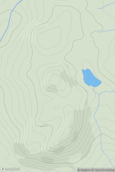
Ariel drone view of mountainous landscape with rolling clouds flowing over peak

Journal your hikes and share your adventures.

Bag peaks across the UK & Ireland, track your progress and see updates from Donder's growing community of hikers.

Donder's profile view available to users after sign-up, shows example user with progress tracking, hiking journal and user leaderboard

Thumbnail image for Cairnacay showing contour plot for surrounding peak
SCO
Icon of location pin
490m
Icon of vertical, double ended, arrow to symbolise height of mountain

Cairnacay

Icon of mountain used to symbolise the number of ascents made by users

0
Ascents

Thumbnail image for Heabhal (Sheabhal) (Heaval) showing contour plot for surrounding peak
SCO
Icon of location pin
384m
Icon of vertical, double ended, arrow to symbolise height of mountain

Heabhal (Sheabhal) (Heaval)

Icon of mountain used to symbolise the number of ascents made by users

0
Ascents

Thumbnail image for Bentley Common showing contour plot for surrounding peak
ENG
Icon of location pin
178m
Icon of vertical, double ended, arrow to symbolise height of mountain

Bentley Common

Icon of mountain used to symbolise the number of ascents made by users

0
Ascents

Thumbnail image for Crockalaght showing contour plot for surrounding peak
IRE
Icon of location pin
389m
Icon of vertical, double ended, arrow to symbolise height of mountain

Crockalaght

Icon of mountain used to symbolise the number of ascents made by users

0
Ascents

Thumbnail image for Cader Dinmael showing contour plot for surrounding peak
WLS
Icon of location pin
452m
Icon of vertical, double ended, arrow to symbolise height of mountain

Cader Dinmael

Icon of mountain used to symbolise the number of ascents made by users

0
Ascents

Thumbnail image for Dumbowie showing contour plot for surrounding peak
SCO
Icon of location pin
158m
Icon of vertical, double ended, arrow to symbolise height of mountain

Dumbowie

Icon of mountain used to symbolise the number of ascents made by users

0
Ascents