


0
Ascents

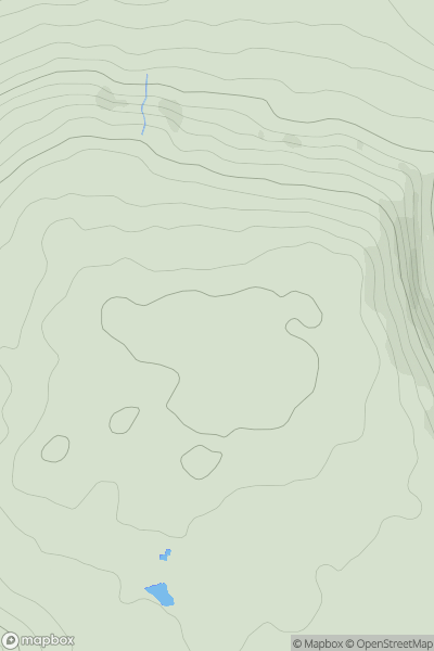
 South Central England
 0
0 204.6
204.6User Activity
No recent Activity
0
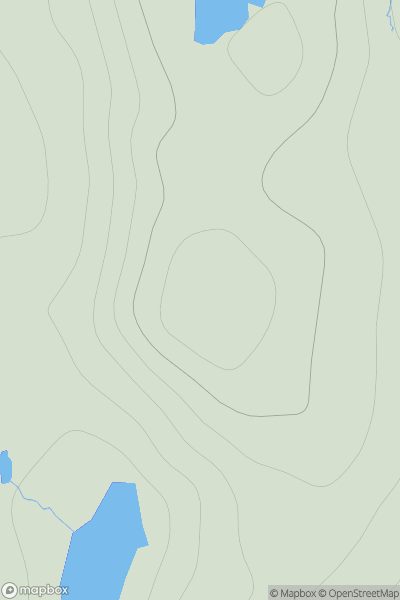
Ascents
Shetland Islands
0
173.0User Activity
No recent Activity
0
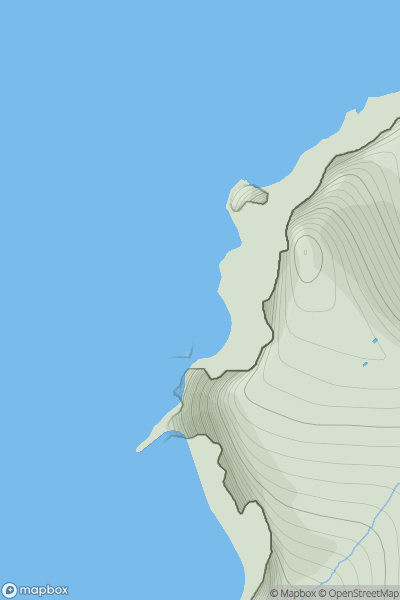
Ascents
Shetland Islands
0
41.0User Activity
No recent Activity
0
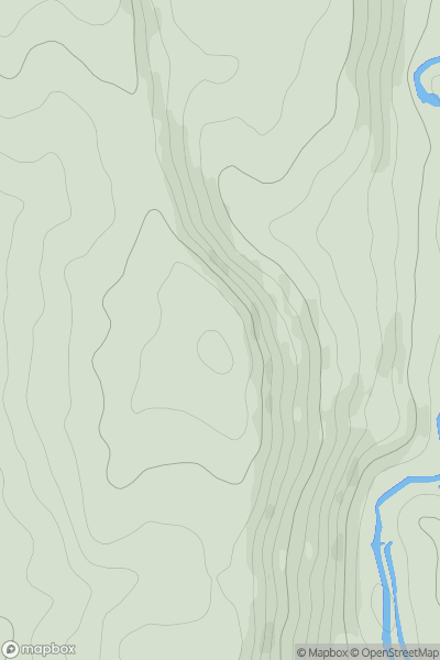
Ascents
Lancashire, Cheshire and S Pennines
0
273.1User Activity
No recent Activity
0
Ascents
Barmouth to Betws-y-Coed and Bala
0
369.0User Activity
No recent Activity
0
Ascents
Central Scotland from Dumbarton to Montrose
0
516.0User Activity
No recent Activity