


0
Ascents

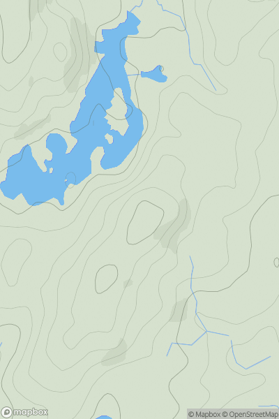
 Lake District S
 0
0 255.0
255.0User Activity
No recent Activity
0
Ascents
The River Tweed to the English Border
0
409.0User Activity
No recent Activity
0
Ascents
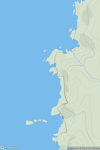
Durness to Loch Shin
0
91.0User Activity
No recent Activity
0
Ascents
Islay
0
39.0User Activity
No recent Activity
0
Ascents
Loch Lomond to Strathyre
0
616.0User Activity
No recent Activity
0
Ascents
Central and Eastern England
0
158.0User Activity
No recent Activity