


0
Ascents

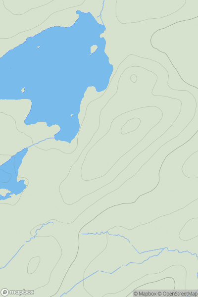
 Ayr to the River Clyde
 0
0 246.0
246.0User Activity
No recent Activity
0
Ascents
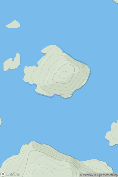
Scourie to Lairg
0
71.0User Activity
No recent Activity
0
Ascents
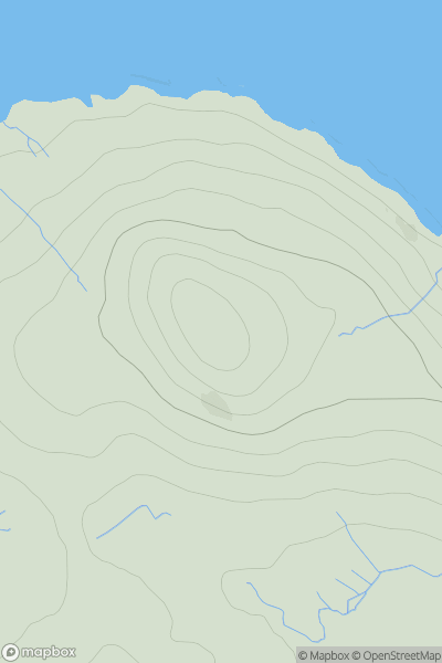
North Uist, South Uist and Nearby Islands
0
93.0User Activity
No recent Activity
0
Ascents
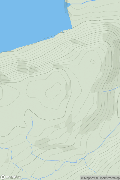
Lake District E
0
426.0User Activity
No recent Activity
0
Ascents
Llandovery to Monmouth
0
538.0User Activity
No recent Activity
0
Ascents
Scourie to Lairg
0
71.0User Activity
No recent Activity