


0
Ascents

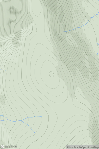
 Harris and Nearby Islands
 0
0 454.0
454.0User Activity
No recent Activity
0
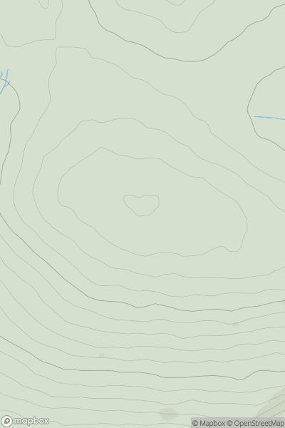
Ascents
South West England
0
493.0User Activity
No recent Activity
0
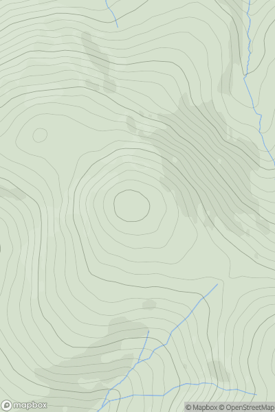
Ascents
Dolgellau to Machynlleth
0
512.6User Activity
No recent Activity
0
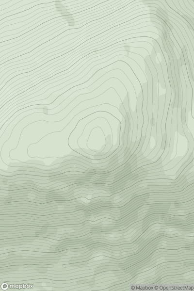
Ascents
Loch Arkaig to Glen Moriston
0
888.0User Activity
No recent Activity
0
Ascents
North Pennines
0
173.1User Activity
No recent Activity
0
Ascents
The River Tweed to the English Border
0
496.0User Activity
No recent Activity