


0
Ascents

 Aberystwyth to Welshpool
 0
0 542.0
542.0User Activity
No recent Activity
0
Ascents
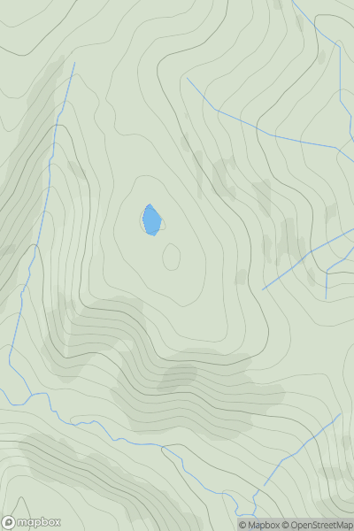
Loch Arkaig to Glen Moriston
0
656.5User Activity
No recent Activity
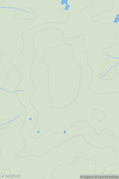
![Thumbnail image for Meall a' Chapuill [Loch Lomond to Strathyre] showing contour plot for surrounding peak](/static/img/mountains_img_db/5772_Meall_a'_Chapuill_[Loch_Lomond_to_Strathyre].png)
0
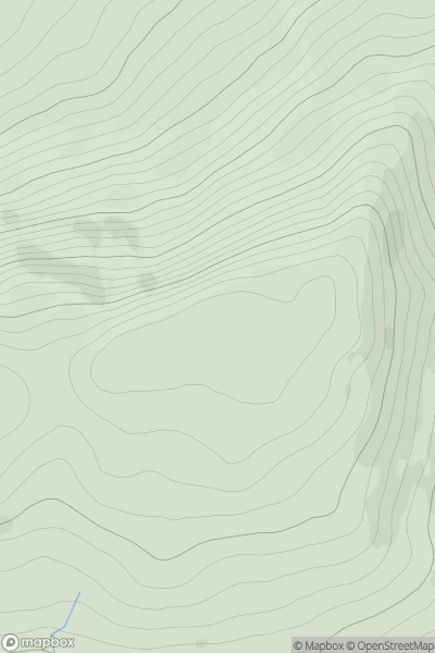
Ascents
Loch Lomond to Strathyre
0
513.8User Activity
No recent Activity
0
Ascents
South East England
0
146.0User Activity
No recent Activity
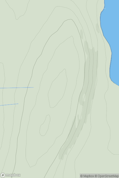
![Thumbnail image for Carn a' Mhadaidh-ruaidh [Kyle of Lochalsh to Garve] showing contour plot for surrounding peak](/static/img/mountains_img_db/6554_Carn_a'_Mhadaidh-ruaidh_[Kyle_of_Lochalsh_to_Garve].png)
0
Ascents
Kyle of Lochalsh to Garve
0
586.0User Activity
No recent Activity
0
Ascents
Orkney Islands
0
76.0User Activity
No recent Activity