


0
Ascents

 Llandovery to Monmouth
 0
0 350.0
350.0User Activity
No recent Activity
0
Ascents
Loch Duich to Cannich
0
956.0User Activity
No recent Activity
0
Ascents
Bantry to Clear Island
0
164.0User Activity
No recent Activity
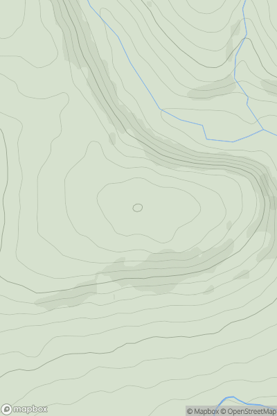
![Thumbnail image for Beinn Bhreac North Top [Loch Arkaig to Glen Moriston] showing contour plot for surrounding peak](/static/img/mountains_img_db/8667_Beinn_Bhreac_North_Top_[Loch_Arkaig_to_Glen_Moriston].png)
0
Ascents
Loch Arkaig to Glen Moriston
0
425.0User Activity
No recent Activity

0
Ascents
Lake District C&W
0
810.0User Activity
No recent Activity
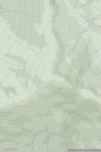
![Thumbnail image for Sron na h-Iolaire [Glen Tromie to Glen Tilt] showing contour plot for surrounding peak](/static/img/mountains_img_db/4062_Sron_na_h-Iolaire_[Glen_Tromie_to_Glen_Tilt].png)
0
Ascents
Glen Tromie to Glen Tilt
0
739.0User Activity
No recent Activity