

.png)


0
Ascents

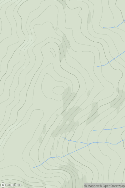
 Loch Duich to Cannich
 0
0 1151.0
User Activity
No recent Activity
0
Ascents
Dolgellau to Machynlleth
0
395.0User Activity
No recent Activity
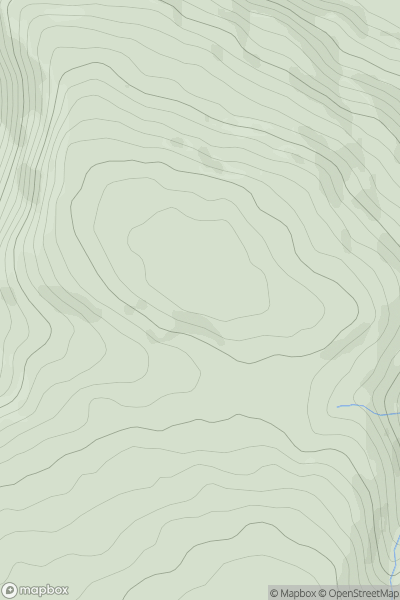
0
Ascents
Bala to Welshpool
0
386.0User Activity
No recent Activity
![Thumbnail image for Cnoc na h-Iolaire [Kyle of Lochalsh to Garve] showing contour plot for surrounding peak](/static/img/mountains_img_db/4671_Cnoc_na_h-Iolaire_[Kyle_of_Lochalsh_to_Garve].png)
0
Ascents
Kyle of Lochalsh to Garve
0
354.8User Activity
No recent Activity
0
Ascents
Lake District C&W
0
451.0User Activity
No recent Activity
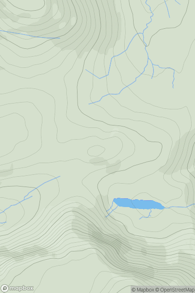
![Thumbnail image for Bank Hill [The Glenkens to Annandale] showing contour plot for surrounding peak](/static/img/mountains_img_db/5051_Bank_Hill_[The_Glenkens_to_Annandale].png)
0
Ascents
The Glenkens to Annandale
0
530.0User Activity
No recent Activity