

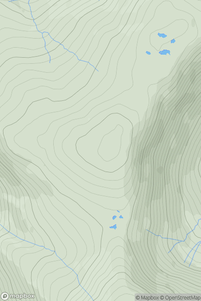
![Thumbnail image for Windmill Hill [Central and Eastern England] [SU552984] showing contour plot for surrounding peak](/static/img/mountains_img_db/17440_Windmill_Hill_[Central_and_Eastern_England]_[SU552984].png)


0
Ascents

 Central and Eastern England
 0
0 102.0
102.0User Activity
No recent Activity
0
Ascents
Lake District C&W
0
715.0User Activity
No recent Activity
0
Ascents
The River Tees to The Wash
0
14.0User Activity
No recent Activity
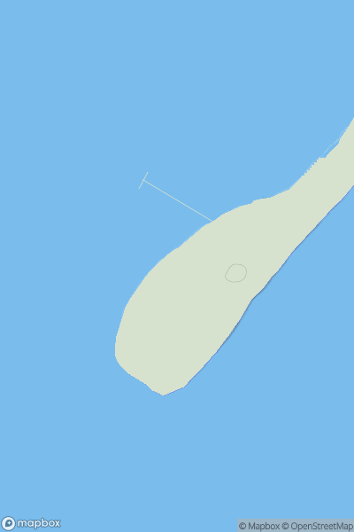
_(Cluidaniller)_(Aranmore_Island).png)
0
Ascents
Derryveagh, Glendowan
0
227.0User Activity
No recent Activity
0
Ascents
South-West Wales
0
245.0User Activity
No recent Activity
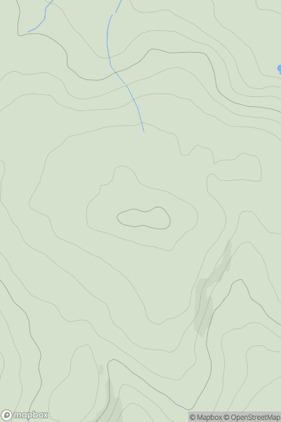
![Thumbnail image for Old Hill [The River Tweed to the English Border] showing contour plot for surrounding peak](/static/img/mountains_img_db/14014_Old_Hill_[The_River_Tweed_to_the_English_Border].png)
0
Ascents
The River Tweed to the English Border
0
351.0User Activity
No recent Activity