


0
Ascents

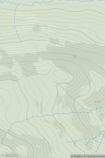
 Loch Rannoch to Glen Lyon
 0
0 624.0
624.0User Activity
No recent Activity
).png)
0
Ascents
North Cork
0
690.0User Activity
No recent Activity
0
Ascents
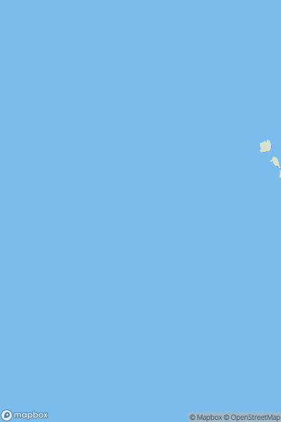
Shetland Islands
0
41.0User Activity
No recent Activity
0
Ascents
Durness to Loch Shin
0
608.0User Activity
No recent Activity
![Thumbnail image for Hog Hill [Firth of Forth to the River Tweed] [NT255469] showing contour plot for surrounding peak](/static/img/mountains_img_db/14016_Hog_Hill_[Firth_of_Forth_to_the_River_Tweed]_[NT255469].png)
0
Ascents
Firth of Forth to the River Tweed
0
351.6User Activity
No recent Activity
![Thumbnail image for Bar Hill [Carrick and Galloway] [NX601540] showing contour plot for surrounding peak](/static/img/mountains_img_db/13677_Bar_Hill_[Carrick_and_Galloway]_[NX601540].png)
0
Ascents
Carrick and Galloway
0
109.0User Activity
No recent Activity