

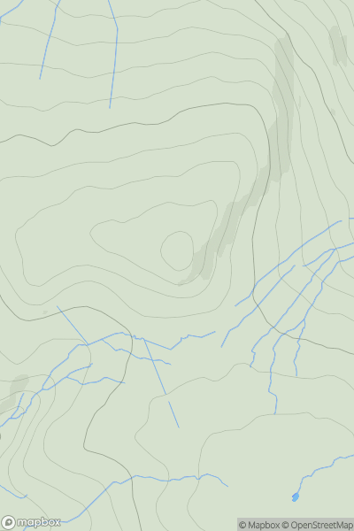
![Thumbnail image for Blackcraig Hill [The Glenkens to Annandale] [NS741009] showing contour plot for surrounding peak](/static/img/mountains_img_db/7266_Blackcraig_Hill_[The_Glenkens_to_Annandale]_[NS741009].png)


0
Ascents

 The Glenkens to Annandale
 0
0 502.0
502.0User Activity
No recent Activity
0
Ascents
Lancashire, Cheshire and S Pennines
0
501.0User Activity
No recent Activity

0
Ascents
Glen Lyon to Glen Dochart & Loch Tay
0
956.5User Activity
No recent Activity
0
Ascents
South-East Skye and Scalpay
0
170.0User Activity
No recent Activity
![Thumbnail image for West Hill [Orkney Islands] showing contour plot for surrounding peak](/static/img/mountains_img_db/12238_West_Hill_[Orkney_Islands].png)
0
Ascents
Orkney Islands
0
59.0User Activity
No recent Activity
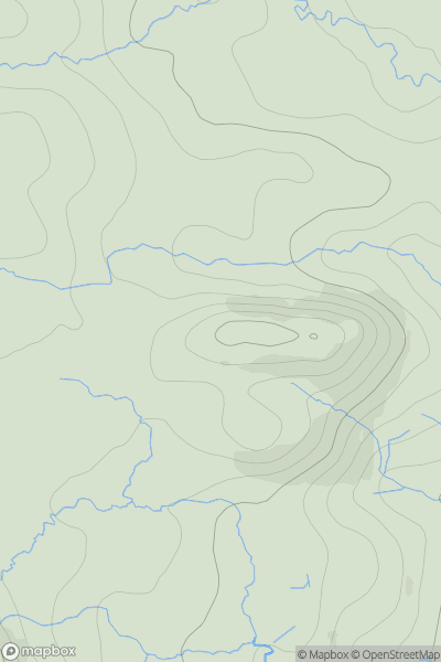
![Thumbnail image for Beinn Bhreac NE Top [Loch Fyne to Bute and the Firth of Clyde] showing contour plot for surrounding peak](/static/img/mountains_img_db/10739_Beinn_Bhreac_NE_Top_[Loch_Fyne_to_Bute_and_the_Firth_of_Clyde].png)
0
Ascents
Loch Fyne to Bute and the Firth of Clyde
0
451.0User Activity
No recent Activity