


0
Ascents

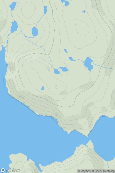
 Shetland Islands
 0
0 91.0
91.0User Activity
No recent Activity
0
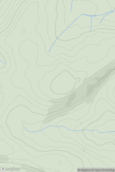
Ascents
Llandovery to Monmouth
0
415.0User Activity
No recent Activity
0
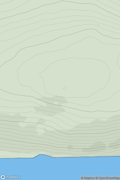
Ascents
Altnaharra to Dornoch
0
186.0User Activity
No recent Activity
0
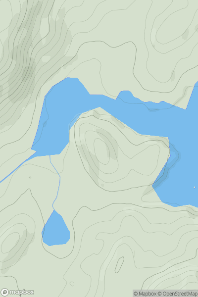
Ascents
Oban to Loch Fyne
0
91.0User Activity
No recent Activity
0
Ascents
The Glenkens to Annandale
0
328.0User Activity
No recent Activity
0
Ascents
Central Scotland from Dumbarton to Montrose
0
449.0User Activity
No recent Activity