


0
Ascents

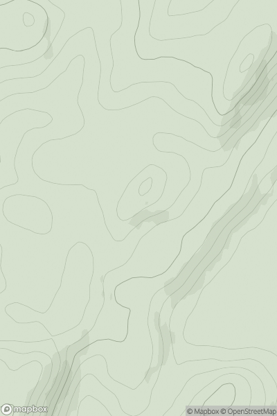
 Oban to Loch Fyne
 0
0 303.0
303.0User Activity
No recent Activity
0
Ascents
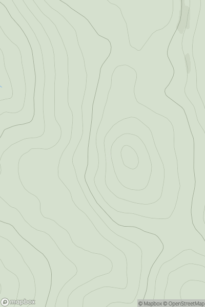
North Skye and Raasay
0
298.0User Activity
No recent Activity
0
Ascents
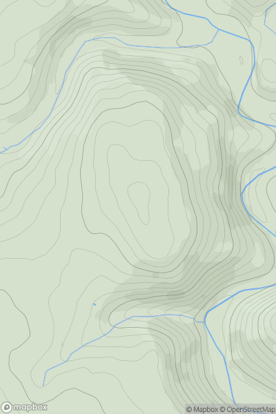
Lancashire, Cheshire and S Pennines
0
334.0User Activity
No recent Activity
0
Ascents
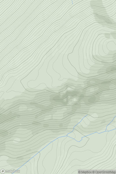
Knoydart to Glen Kingie
0
653.8User Activity
No recent Activity
![Thumbnail image for The Warren [South West England] showing contour plot for surrounding peak](/static/img/mountains_img_db/17742_The_Warren_[South_West_England].png)
0
Ascents
South West England
0
134.9User Activity
No recent Activity
.png)
0
Ascents
Lake District S
0
177.0User Activity
No recent Activity