

![Thumbnail image for Creag nan Gabhar [Loch Ericht to Glen Tromie & Glen Garry] showing contour plot for surrounding peak](/static/img/mountains_img_db/7872_Creag_nan_Gabhar_[Loch_Ericht_to_Glen_Tromie_&_Glen_Garry].png)


0
Ascents

 Loch Ericht to Glen Tromie & Glen Garry
 0
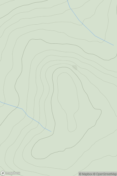
0 731.6
731.6User Activity
No recent Activity
0
Ascents
Glen Albyn and the Monadh Liath
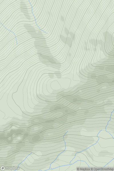
0
822.0User Activity
No recent Activity
.png)
0
Ascents
Scourie to Lairg
0
398.4User Activity
No recent Activity
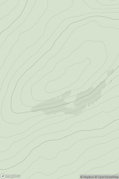
![Thumbnail image for Creag Bheag [Glen Albyn and the Monadh Liath] [NN482958] showing contour plot for surrounding peak](/static/img/mountains_img_db/8538_Creag_Bheag_[Glen_Albyn_and_the_Monadh_Liath]_[NN482958].png)
0
Ascents
Glen Albyn and the Monadh Liath
0
427.0User Activity
No recent Activity
0
Ascents
Knoydart to Glen Kingie
0
760.9User Activity
No recent Activity
0
Ascents
Loch Broom to Strath Oykel
0
388.0User Activity
No recent Activity