


0
Ascents

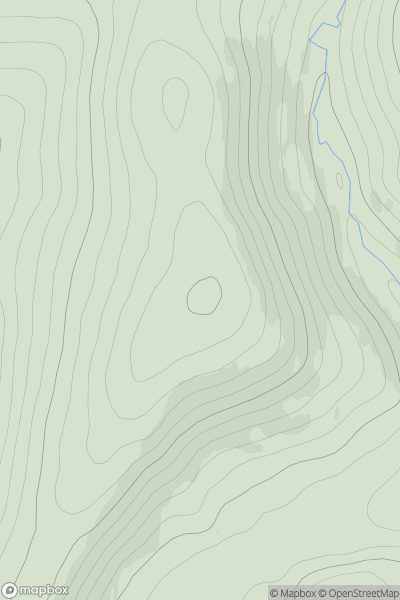
 Braemar to Montrose
 0
0 504.0
504.0User Activity
No recent Activity

0
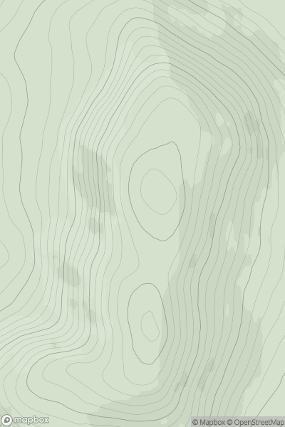
Ascents
Lancashire, Cheshire and S Pennines
0
156.0User Activity
No recent Activity
0
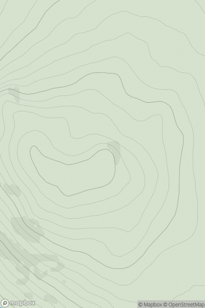
Ascents
North Mayo
0
269.0User Activity
No recent Activity
0
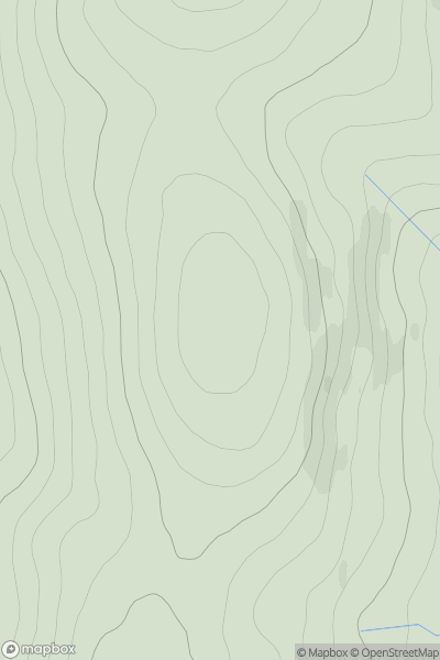
Ascents
Loch Broom to Strath Oykel
0
468.0User Activity
No recent Activity
0
Ascents
Loch Broom to Strath Oykel
0
838.7User Activity
No recent Activity
0
Ascents
Central Pennines
0
200.6User Activity
No recent Activity