


0
Ascents

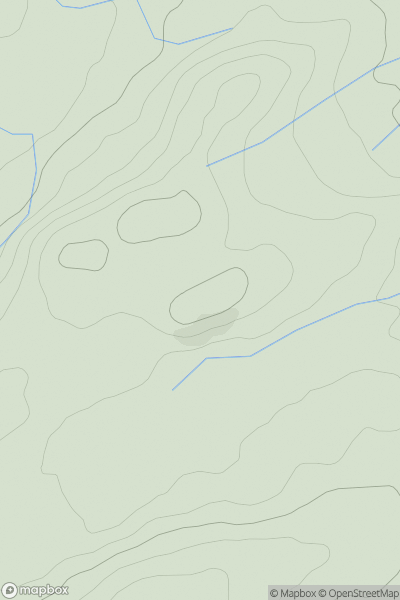
 Aberystwyth to Welshpool
 0
0 368.0
368.0User Activity
No recent Activity
0
Ascents
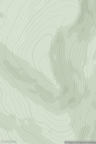
Loch Vaich to Moray Firth
0
772.0User Activity
No recent Activity
0
Ascents
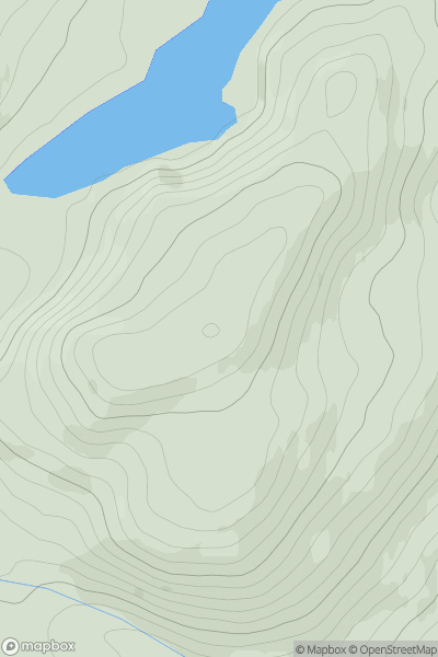
Jura, Scarba and Colonsay
0
342.0User Activity
No recent Activity
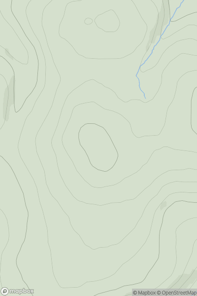
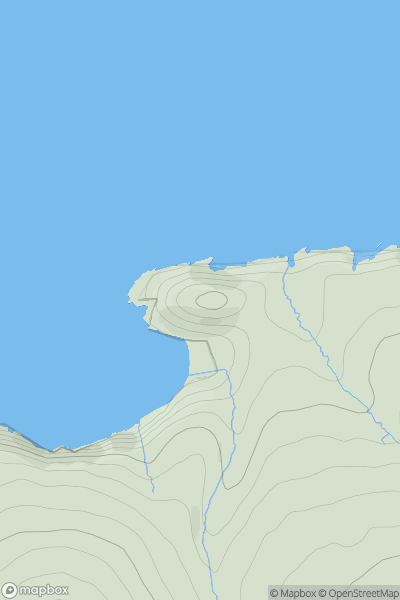
![Thumbnail image for Sgurr a' Chaorachain [Kyle of Lochalsh to Garve] showing contour plot for surrounding peak](/static/img/mountains_img_db/885_Sgurr_a'_Chaorachain_[Kyle_of_Lochalsh_to_Garve].png)
0
Ascents
Kyle of Lochalsh to Garve
0
1053.0User Activity
No recent Activity
0
Ascents
Glen Albyn and the Monadh Liath
0
907.1User Activity
No recent Activity
0
Ascents
South-West Wales
0
76.0User Activity
No recent Activity