


0
Ascents

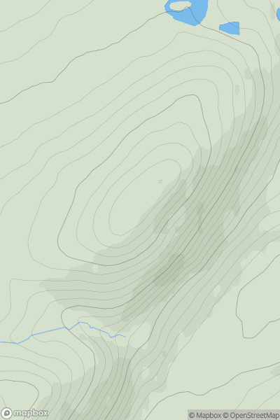
 Killilan to Inverness
 0
0 288.5
288.5User Activity
No recent Activity
0
Ascents
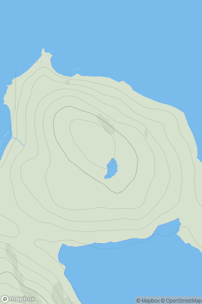
Harris and Nearby Islands
0
77.0User Activity
No recent Activity
0
Ascents
South Central England
0
165.0User Activity
No recent Activity
0
Ascents
South-West Wales
0
326.0User Activity
No recent Activity
.png)
0
Ascents
Mull and Nearby Islands
0
42.0User Activity
No recent Activity
0
Ascents
Glen Affric to Glen Moriston
0
584.0User Activity
No recent Activity