


0
Ascents

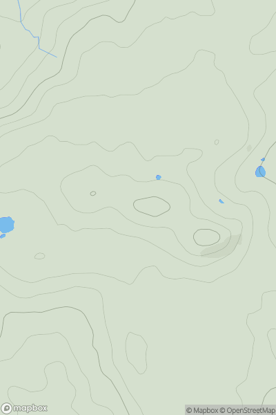
 South Central England
 0
0 207.2
207.2User Activity
No recent Activity
![Thumbnail image for Meall a' Choire Bhuidhe [Applecross to Achnasheen] showing contour plot for surrounding peak](/static/img/mountains_img_db/6661_Meall_a'_Choire_Bhuidhe_[Applecross_to_Achnasheen].png)
0
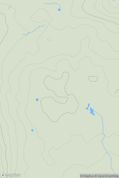
Ascents
Applecross to Achnasheen
0
125.0User Activity
No recent Activity
![Thumbnail image for Woodbury Hill [South West England] showing contour plot for surrounding peak](/static/img/mountains_img_db/17880_Woodbury_Hill_[South_West_England].png)
0
Ascents
South West England
0
58.0User Activity
No recent Activity
0
Ascents
Llandovery to Monmouth
0
557.6User Activity
No recent Activity
![Thumbnail image for The Socach [Tomintoul to Banff] [NJ326193] showing contour plot for surrounding peak](/static/img/mountains_img_db/7025_The_Socach_[Tomintoul_to_Banff]_[NJ326193].png)
0
Ascents
Tomintoul to Banff
0
577.0User Activity
No recent Activity
).png)
0
Ascents
Lake District E
0
435.0User Activity
No recent Activity