

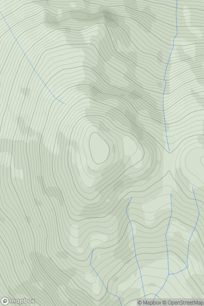
![Thumbnail image for Beinn Fhada [Mull and Nearby Islands] [NM540349] showing contour plot for surrounding peak](/static/img/mountains_img_db/1308_Beinn_Fhada_[Mull_and_Nearby_Islands]_[NM540349].png)


0
Ascents

 Mull and Nearby Islands
 0
0 702.0
702.0User Activity
No recent Activity
0
Ascents
Loch Lomond to Strathyre
0
869.0User Activity
No recent Activity
0
Ascents
South West England
0
78.0User Activity
No recent Activity
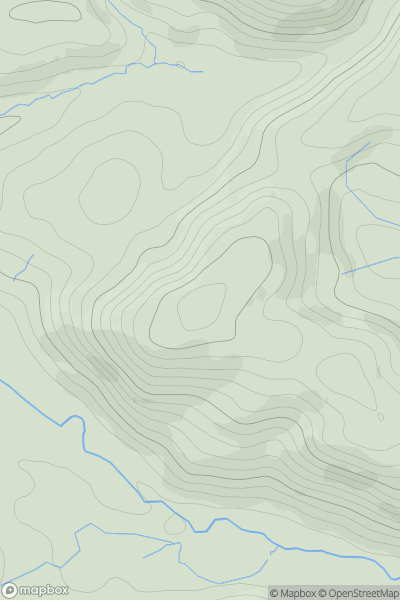
![Thumbnail image for Meallan Buidhe [Kyle of Lochalsh to Garve] showing contour plot for surrounding peak](/static/img/mountains_img_db/3237_Meallan_Buidhe_[Kyle_of_Lochalsh_to_Garve].png)
0
Ascents
Kyle of Lochalsh to Garve
0
764.4User Activity
No recent Activity
0
Ascents
Bala to Welshpool
0
274.0User Activity
No recent Activity
0
Ascents
South Central England
0
136.0User Activity
No recent Activity