


0
Ascents

 South West England
 0
0 209.9
209.9User Activity
No recent Activity
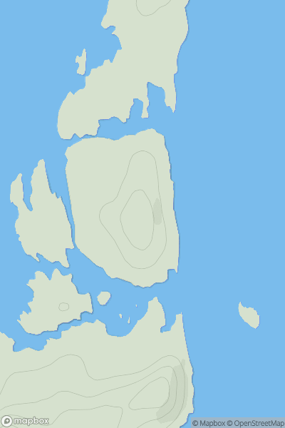
![Thumbnail image for Brough Hill [North Pennines] showing contour plot for surrounding peak](/static/img/mountains_img_db/16452_Brough_Hill_[North_Pennines].png)
0
Ascents
North Pennines
0
193.6User Activity
No recent Activity
0
Ascents
South West England
0
538.0User Activity
No recent Activity
0
Ascents
The Glenkens to Annandale
0
413.0User Activity
No recent Activity
0
Ascents
Orkney Islands
0
32.0User Activity
No recent Activity
0
Ascents
Jura, Scarba and Colonsay
0
34.0User Activity
No recent Activity