


0
Ascents

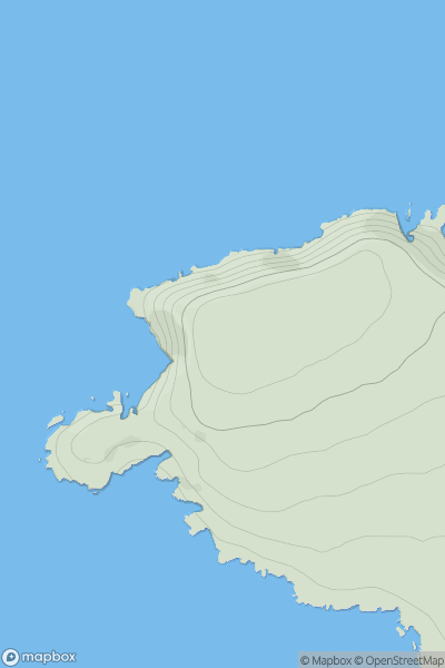
 Bantry to Clear Island
 0
0 158.0
158.0User Activity
No recent Activity
0
Ascents
South West England
0
74.0User Activity
No recent Activity
0
Ascents
Glen Albyn and the Monadh Liath
0
292.0User Activity
No recent Activity
0
Ascents
South West England
0
337.0User Activity
No recent Activity
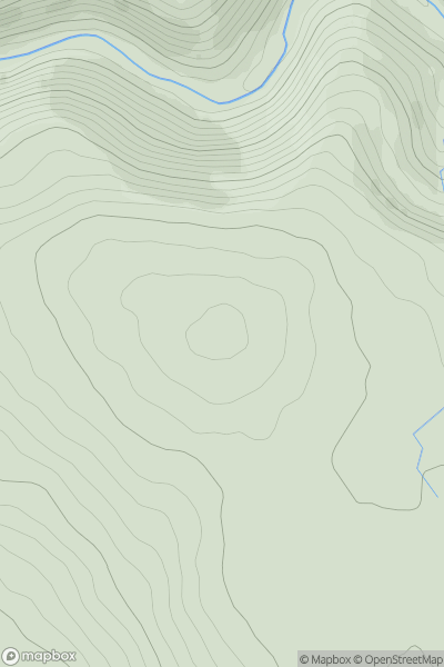
![Thumbnail image for Carlin Tooth [The River Tweed to the English Border] [NT630024] showing contour plot for surrounding peak](/static/img/mountains_img_db/7381_Carlin_Tooth_[The_River_Tweed_to_the_English_Border]_[NT630024].png)
0
Ascents
The River Tweed to the English Border
0
551.0User Activity
No recent Activity

0
Ascents
South East England
0
101.0User Activity
No recent Activity