

.png)


0
Ascents

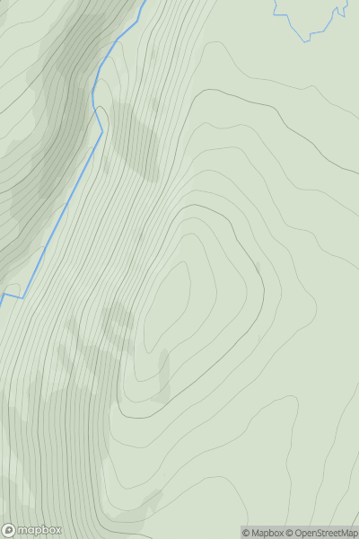
 The River Tweed to the English Border
 0
0 402.0
402.0User Activity
No recent Activity
.png)
0
Ascents
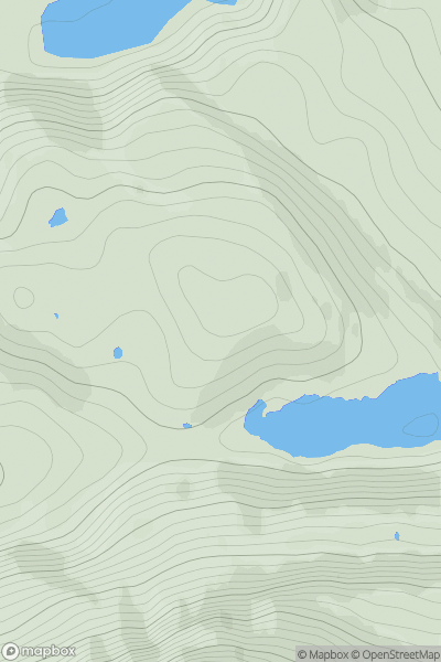
Dingle Peninsula - W of Dingle
0
172.0User Activity
No recent Activity
0
Ascents
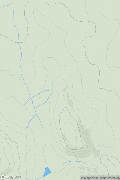
Glen Albyn and the Monadh Liath
0
795.0User Activity
No recent Activity
0
Ascents
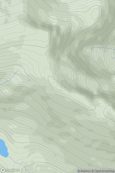
Lochinver to Ullapool
0
302.0User Activity
No recent Activity
0
Ascents
Central and Eastern England
0
250.0User Activity
No recent Activity
0
Ascents
South Mayo and Central Galway
0
790.0User Activity
No recent Activity