


0
Ascents

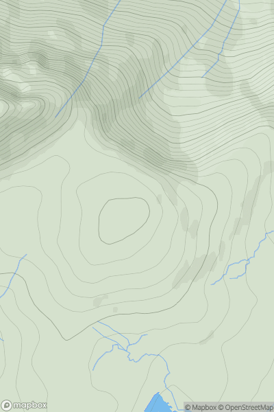
 The Glenkens to Annandale
 0
0 405.0
405.0User Activity
No recent Activity
0
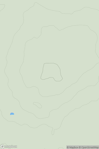
Ascents
Loch Duich to Cannich
0
613.8User Activity
No recent Activity

0
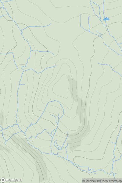
Ascents
Llandudno to Wrexham
0
390.0User Activity
No recent Activity
0
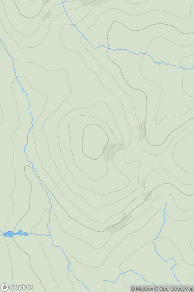
Ascents
Central and Eastern England
0
102.0User Activity
No recent Activity
0
Ascents
The River Tees to The Wash
0
308.0User Activity
No recent Activity
0
Ascents
South West England
0
211.0User Activity
No recent Activity