


0
Ascents

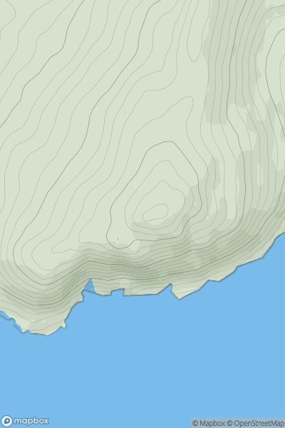
 Beara Peninsula
 0
0 181.0
181.0User Activity
No recent Activity
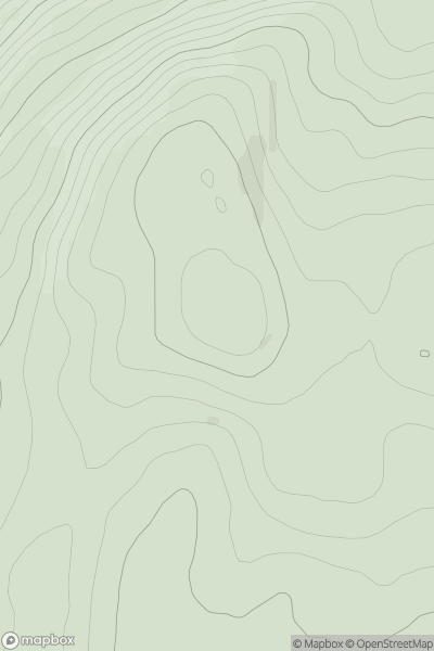
![Thumbnail image for Shute Hill [South Central England] showing contour plot for surrounding peak](/static/img/mountains_img_db/17965_Shute_Hill_[South_Central_England].png)
0
Ascents
South Central England
0
292.0User Activity
No recent Activity
0
Ascents
Loch Arkaig to Glen Moriston
0
475.0User Activity
No recent Activity
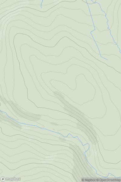
![Thumbnail image for Beinn na Caillich [Fort William to Loch Treig & Loch Leven] showing contour plot for surrounding peak](/static/img/mountains_img_db/3012_Beinn_na_Caillich_[Fort_William_to_Loch_Treig_&_Loch_Leven].png)
0
Ascents
Fort William to Loch Treig & Loch Leven
0
764.0User Activity
No recent Activity
.png)
0
Ascents
Wicklow Hills N
0
641.0User Activity
No recent Activity
0
Ascents
Lancashire, Cheshire and S Pennines
0
399.0User Activity
No recent Activity