


0
Ascents

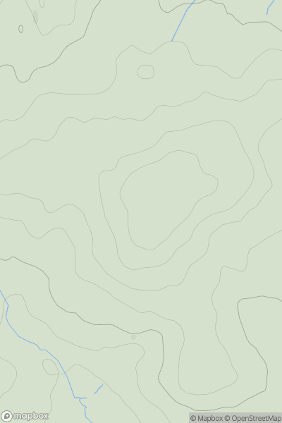
 South East England
 0
0 149.0
149.0User Activity
No recent Activity
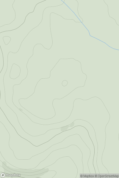
![Thumbnail image for Hog Hill [The Glenkens to Annandale] showing contour plot for surrounding peak](/static/img/mountains_img_db/13321_Hog_Hill_[The_Glenkens_to_Annandale].png)
0
Ascents
The Glenkens to Annandale
0
312.0User Activity
No recent Activity
0
Ascents
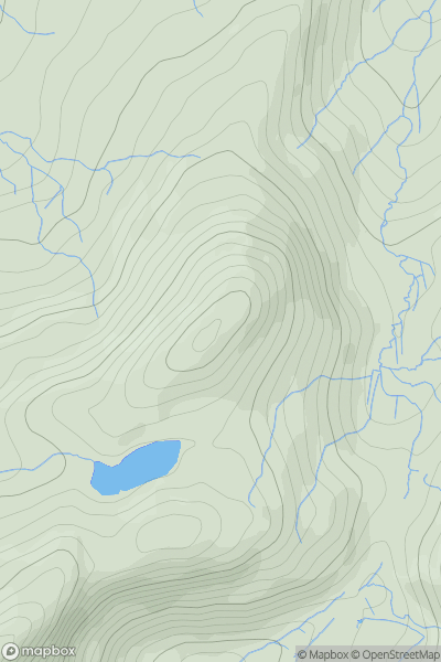
North Pennines
0
497.0User Activity
No recent Activity
0
Ascents
Snowdonia
0
524.0User Activity
No recent Activity
0
Ascents
Bantry to Clear Island
0
156.0User Activity
No recent Activity
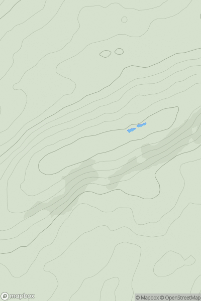
![Thumbnail image for Bryn Mawr [Barmouth to Betws-y-Coed and Bala] showing contour plot for surrounding peak](/static/img/mountains_img_db/14456_Bryn_Mawr_[Barmouth_to_Betws-y-Coed_and_Bala].png)
0
Ascents
Barmouth to Betws-y-Coed and Bala
0
401.0User Activity
No recent Activity