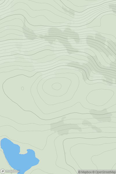
Ariel drone view of mountainous landscape with rolling clouds flowing over peak

Journal your hikes and share your adventures.

Bag peaks across the UK & Ireland, track your progress and see updates from Donder's growing community of hikers.

Donder's profile view available to users after sign-up, shows example user with progress tracking, hiking journal and user leaderboard

Thumbnail image for Beinn a' Chairein showing contour plot for surrounding peak
SCO
Icon of location pin
646m
Icon of vertical, double ended, arrow to symbolise height of mountain

Beinn a' Chairein

Icon of mountain used to symbolise the number of ascents made by users

0
Ascents

Thumbnail image for Holt Hill showing contour plot for surrounding peak
ENG
Icon of location pin
150m
Icon of vertical, double ended, arrow to symbolise height of mountain

Holt Hill

Icon of mountain used to symbolise the number of ascents made by users

0
Ascents

Thumbnail image for Little Whernside showing contour plot for surrounding peak
ENG
Icon of location pin
605m
Icon of vertical, double ended, arrow to symbolise height of mountain

Little Whernside

Icon of mountain used to symbolise the number of ascents made by users

0
Ascents

Thumbnail image for Bryn-garth showing contour plot for surrounding peak
WLS
Icon of location pin
251m
Icon of vertical, double ended, arrow to symbolise height of mountain

Bryn-garth

Icon of mountain used to symbolise the number of ascents made by users

0
Ascents

Thumbnail image for Hill of Johnston showing contour plot for surrounding peak
SCO
Icon of location pin
262m
Icon of vertical, double ended, arrow to symbolise height of mountain

Hill of Johnston

Icon of mountain used to symbolise the number of ascents made by users

0
Ascents

Thumbnail image for Cnoc a' Mhoraire showing contour plot for surrounding peak
SCO
Icon of location pin
319m
Icon of vertical, double ended, arrow to symbolise height of mountain

Cnoc a' Mhoraire

Icon of mountain used to symbolise the number of ascents made by users

0
Ascents