


0
Ascents

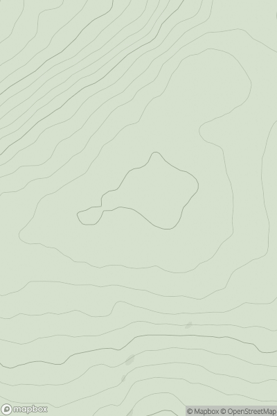
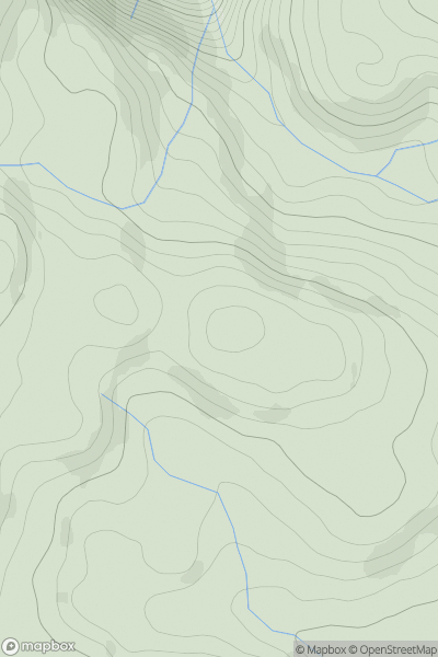
 Slieve Bloom Mountains
 0
0 406.0
406.0User Activity
No recent Activity
0
Ascents
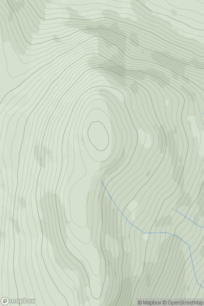
Loch Long to Loch Lomond
0
709.0User Activity
No recent Activity
0
Ascents
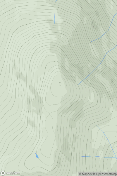
Loch Fyne to Bute and the Firth of Clyde
0
607.0User Activity
No recent Activity
0
Ascents
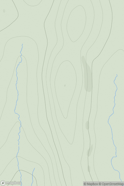
Shetland Islands
0
143.0User Activity
No recent Activity
0
Ascents
Aberystwyth to Welshpool
0
493.0User Activity
No recent Activity
0
Ascents
Cairngorms
0
1296.0User Activity
No recent Activity