


0
Ascents

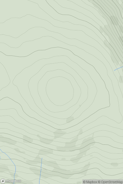
 Wicklow Hills N
 0
0 553.5
553.5User Activity
No recent Activity
0
Ascents
Lochinver to Ullapool
0
96.0User Activity
No recent Activity
0
Ascents
South East England
0
213.0User Activity
No recent Activity
0
Ascents
Central Scotland from Dumbarton to Montrose
0
407.0User Activity
No recent Activity
0
Ascents
Inverness to Strathspey
0
480.0User Activity
No recent Activity
0
Ascents
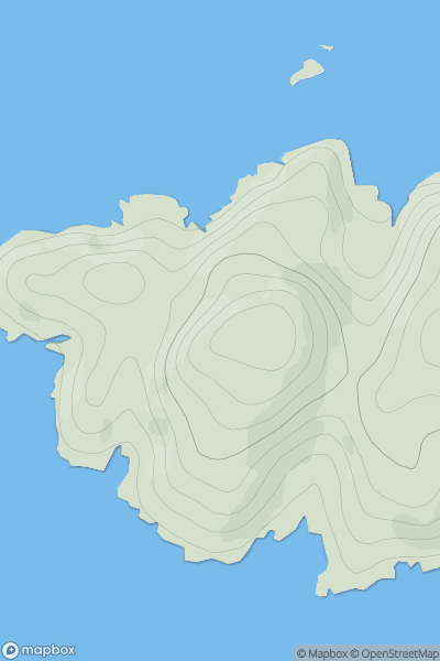
Shetland Islands
0
166.0User Activity
No recent Activity