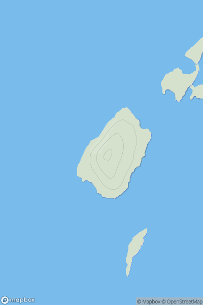
Ariel drone view of mountainous landscape with rolling clouds flowing over peak

Journal your hikes and share your adventures.

Bag peaks across the UK & Ireland, track your progress and see updates from Donder's growing community of hikers.

Donder's profile view available to users after sign-up, shows example user with progress tracking, hiking journal and user leaderboard

Thumbnail image for Eilean Arsa showing contour plot for surrounding peak
SCO
Icon of location pin
48m
Icon of vertical, double ended, arrow to symbolise height of mountain

Eilean Arsa

Icon of mountain used to symbolise the number of ascents made by users

0
Ascents

Thumbnail image for Stob Loch Monaidh showing contour plot for surrounding peak
SCO
Icon of location pin
743m
Icon of vertical, double ended, arrow to symbolise height of mountain

Stob Loch Monaidh

Icon of mountain used to symbolise the number of ascents made by users

0
Ascents

Thumbnail image for Mockerkin How showing contour plot for surrounding peak
ENG
Icon of location pin
247m
Icon of vertical, double ended, arrow to symbolise height of mountain

Mockerkin How

Icon of mountain used to symbolise the number of ascents made by users

0
Ascents

Thumbnail image for Top o' Cow showing contour plot for surrounding peak
ENG
Icon of location pin
166m
Icon of vertical, double ended, arrow to symbolise height of mountain

Top o' Cow

Icon of mountain used to symbolise the number of ascents made by users

0
Ascents

Thumbnail image for Carn Ban Beag showing contour plot for surrounding peak
SCO
Icon of location pin
715m
Icon of vertical, double ended, arrow to symbolise height of mountain

Carn Ban Beag

Icon of mountain used to symbolise the number of ascents made by users

0
Ascents

Thumbnail image for Aonach Sgoilte West Top showing contour plot for surrounding peak
SCO
Icon of location pin
758m
Icon of vertical, double ended, arrow to symbolise height of mountain

Aonach Sgoilte West Top

Icon of mountain used to symbolise the number of ascents made by users

0
Ascents