


0
Ascents

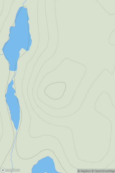
 Shetland Islands
 0
0 108.0
108.0User Activity
No recent Activity
0
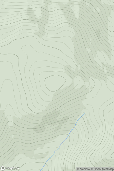
Ascents
Pitlochry to Braemar & Blairgowrie
0
815.0User Activity
No recent Activity
0
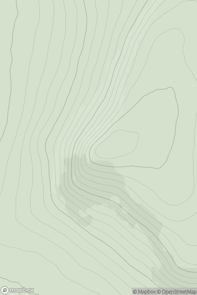
Ascents
Cape Wrath Peninsula
0
371.0User Activity
No recent Activity
0
Ascents
Welsh Borders S
0
74.0User Activity
No recent Activity
0
Ascents
Leitrim and W Cavan
0
178.0User Activity
No recent Activity
0
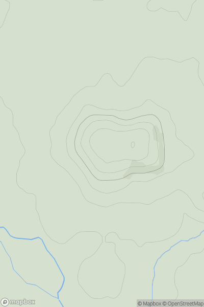
Ascents
Braemar to Montrose
0
518.0User Activity
No recent Activity