

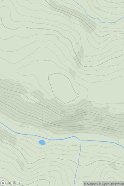
![Thumbnail image for Cnoc Mor [Knapdale and Kintyre] [NR680091] showing contour plot for surrounding peak](/static/img/mountains_img_db/11202_Cnoc_Mor_[Knapdale_and_Kintyre]_[NR680091].png)


0
Ascents

 Knapdale and Kintyre
 0
0 125.0
125.0User Activity
No recent Activity
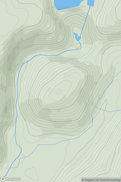
![Thumbnail image for Moelfre [Barmouth to Betws-y-Coed and Bala] showing contour plot for surrounding peak](/static/img/mountains_img_db/2080_Moelfre_[Barmouth_to_Betws-y-Coed_and_Bala].png)
0
Ascents
Barmouth to Betws-y-Coed and Bala
0
589.0User Activity
No recent Activity
0
Ascents
Aberystwyth to Welshpool
0
217.3User Activity
No recent Activity
.png)
0
Ascents
Bala to Welshpool
0
600.9User Activity
No recent Activity
![Thumbnail image for Meall Odhar [Glen Shiel to Loch Hourn and Loch Quoich] showing contour plot for surrounding peak](/static/img/mountains_img_db/8651_Meall_Odhar_[Glen_Shiel_to_Loch_Hourn_and_Loch_Quoich].png)
0
Ascents
Glen Shiel to Loch Hourn and Loch Quoich
0
462.0User Activity
No recent Activity
0
Ascents
South-West Wales
0
355.0User Activity
No recent Activity