


0
Ascents

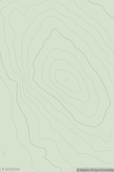
 Slieve Bloom Mountains
 0
0 200.0
200.0User Activity
No recent Activity
.png)
0
Ascents
The Twelve Bens
0
674.0User Activity
No recent Activity
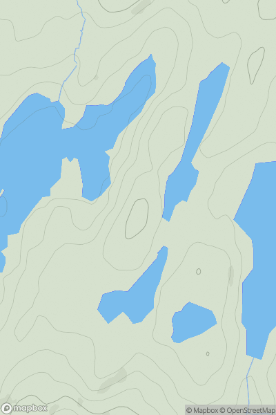
![Thumbnail image for Creag Mhor [Glen Lyon to Glen Dochart & Loch Tay] [NN391361] showing contour plot for surrounding peak](/static/img/mountains_img_db/148_Creag_Mhor_[Glen_Lyon_to_Glen_Dochart_&_Loch_Tay]_[NN391361].png)
0
Ascents
Glen Lyon to Glen Dochart & Loch Tay
0
1046.8User Activity
No recent Activity
0
Ascents
South West England
0
196.0User Activity
No recent Activity
0
Ascents
South-West Wales
0
461.0User Activity
No recent Activity
![Thumbnail image for Black Hill [Ayr to the River Clyde] [NS911365] showing contour plot for surrounding peak](/static/img/mountains_img_db/13225_Black_Hill_[Ayr_to_the_River_Clyde]_[NS911365].png)
0
Ascents
Ayr to the River Clyde
0
373.0User Activity
No recent Activity