

.png)


0
Ascents

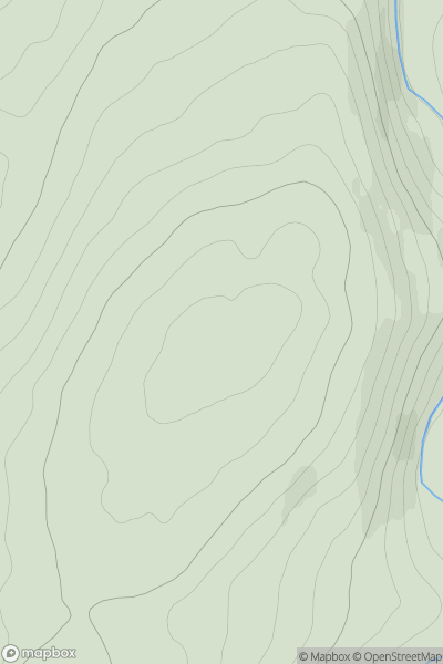
 Iveragh Peninsula N
 0
0 633.0
633.0User Activity
No recent Activity
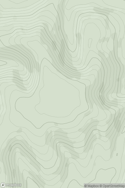
![Thumbnail image for Whitefield Hill [South Central England] showing contour plot for surrounding peak](/static/img/mountains_img_db/17955_Whitefield_Hill_[South_Central_England].png)
0
Ascents
South Central England
0
311.0User Activity
No recent Activity
0
Ascents
Braemar to Montrose
0
218.0User Activity
No recent Activity
0
Ascents
South East England
0
270.0User Activity
No recent Activity
.png)
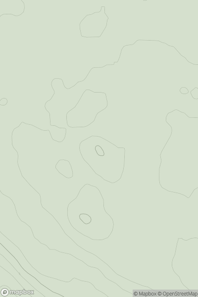
0
Ascents
Iveragh Peninsula S
0
594.0User Activity
No recent Activity
0
Ascents
North Pennines
0
209.0User Activity
No recent Activity