


0
Ascents

 Lancashire, Cheshire and S Pennines
 0
0 134.0
134.0User Activity
No recent Activity
0
Ascents
The River Tweed to the English Border
0
448.0User Activity
No recent Activity
0
Ascents
South West England
0
170.0User Activity
No recent Activity
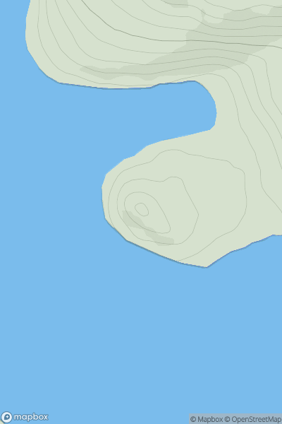
![Thumbnail image for South Hill [Central and Eastern England] [SK305077] showing contour plot for surrounding peak](/static/img/mountains_img_db/17403_South_Hill_[Central_and_Eastern_England]_[SK305077].png)
0
Ascents
Central and Eastern England
0
133.9User Activity
No recent Activity
0
Ascents
North Skye and Raasay
0
56.0User Activity
No recent Activity
0
Ascents
Shetland Islands
0
108.0User Activity
No recent Activity