


0
Ascents

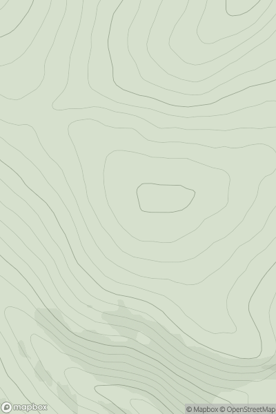
 Inverness to Strathspey
 0
0 503.0
503.0User Activity
No recent Activity
0
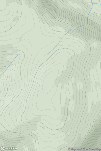
Ascents
Dolgellau to Machynlleth
0
508.0User Activity
No recent Activity
0
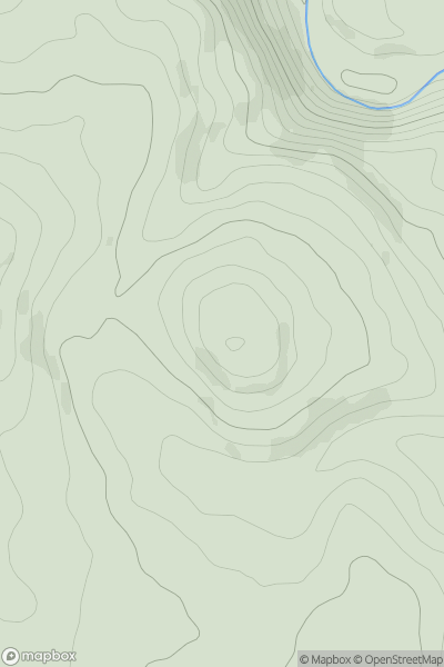
Ascents
Lancashire, Cheshire and S Pennines
0
335.0User Activity
No recent Activity
0
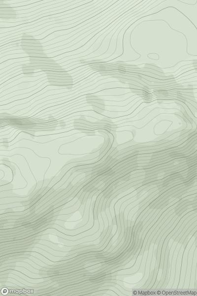
Ascents
Glen Shiel to Loch Hourn and Loch Quoich
0
649.9User Activity
No recent Activity
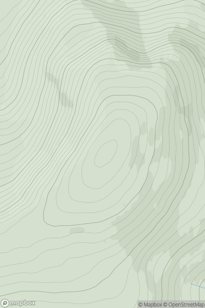
![Thumbnail image for Beinn Bhuidhe [Moidart and Ardnamurchan] [NM438673] showing contour plot for surrounding peak](/static/img/mountains_img_db/4824_Beinn_Bhuidhe_[Moidart_and_Ardnamurchan]_[NM438673].png)
0
Ascents
Moidart and Ardnamurchan
0
161.0User Activity
No recent Activity
0
Ascents
Pitlochry to Braemar & Blairgowrie
0
945.1User Activity
No recent Activity