

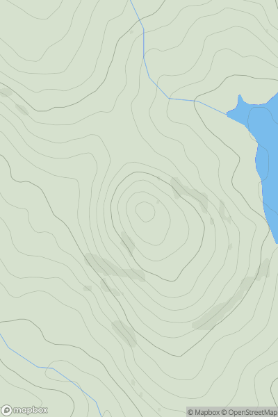
![Thumbnail image for Beinn a' Chaorainn South Top [Loch Lochy to Loch Laggan] showing contour plot for surrounding peak](/static/img/mountains_img_db/665_Beinn_a'_Chaorainn_South_Top_[Loch_Lochy_to_Loch_Laggan].png)


0
Ascents

 Loch Lochy to Loch Laggan
 0
0 1048.5
User Activity
No recent Activity
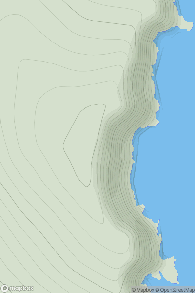
![Thumbnail image for Harrop Edge [Lancashire, Cheshire and S Pennines] [SD998084] showing contour plot for surrounding peak](/static/img/mountains_img_db/16614_Harrop_Edge_[Lancashire,_Cheshire_and_S_Pennines]_[SD998084].png)
0
Ascents
Lancashire, Cheshire and S Pennines
0
348.0User Activity
No recent Activity
0
Ascents
Neath to Chepstow
0
239.0User Activity
No recent Activity
0
Ascents
Shetland Islands
0
160.0User Activity
No recent Activity
0
Ascents
Loch Rannoch to Glen Lyon
0
1083.0User Activity
No recent Activity
0
Ascents
Loch Broom to Strath Oykel
0
621.0User Activity
No recent Activity