


0
Ascents

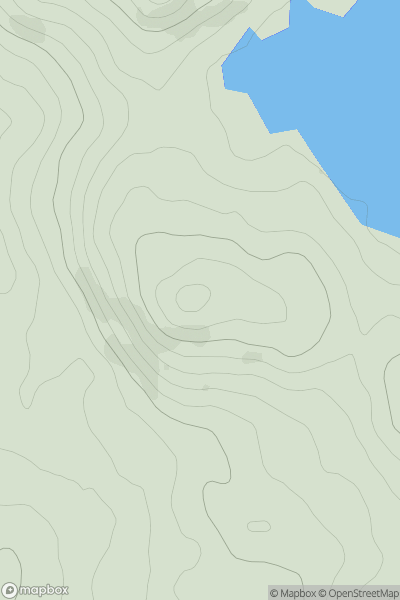
 Carrick and Galloway
 0
0 279.0
279.0User Activity
No recent Activity
0
Ascents
South East England
0
57.8User Activity
No recent Activity
0
Ascents
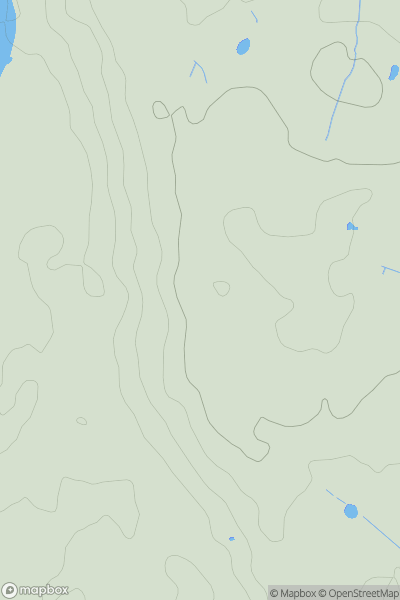
Central Scotland from Dumbarton to Montrose
0
339.0User Activity
No recent Activity
0
Ascents
South West England
0
66.0User Activity
No recent Activity
0
Ascents
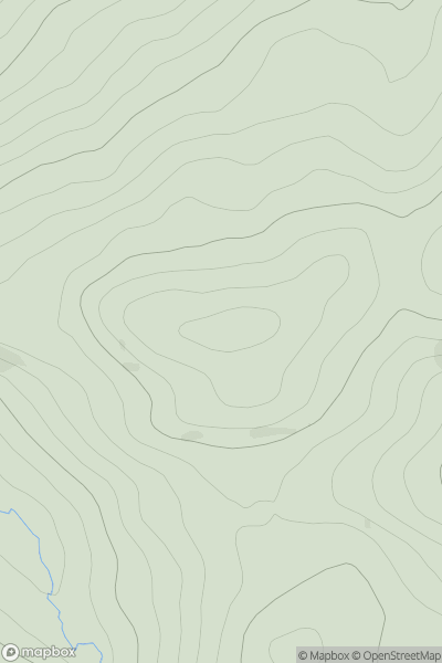
Central Scotland from Dumbarton to Montrose
0
204.0User Activity
No recent Activity
0
Ascents
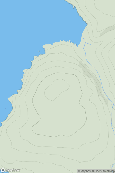
Lake District S
0
77.0User Activity
No recent Activity