


0
Ascents

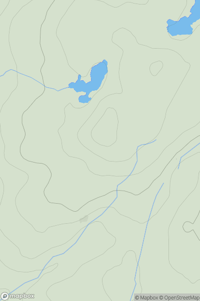
 Knapdale and Kintyre
 0
0 242.0
242.0User Activity
No recent Activity
.png)
0
Ascents
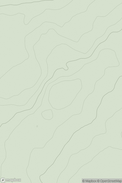
Shetland Islands
0
418.0User Activity
No recent Activity
0
Ascents
The River Tweed to the English Border
0
231.0User Activity
No recent Activity
0
Ascents
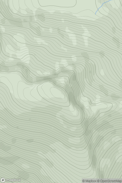
Kyle of Lochalsh to Garve
0
1046.6User Activity
No recent Activity
.png)
0
Ascents
Blue Stack Mountains
0
390.0User Activity
No recent Activity
![Thumbnail image for Ring Hill [The Glenkens to Annandale] showing contour plot for surrounding peak](/static/img/mountains_img_db/13185_Ring_Hill_[The_Glenkens_to_Annandale].png)
0
Ascents
The Glenkens to Annandale
0
404.0User Activity
No recent Activity