


0
Ascents

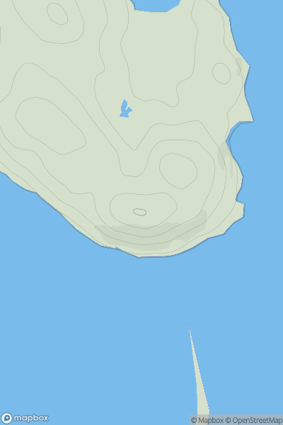
 The Glenkens to Annandale
 0
0 62.0
62.0User Activity
No recent Activity
![Thumbnail image for Cnoc na Moine [Scourie to Lairg] showing contour plot for surrounding peak](/static/img/mountains_img_db/9937_Cnoc_na_Moine_[Scourie_to_Lairg].png)
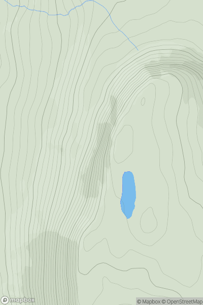
0
Ascents
Scourie to Lairg
0
110.0User Activity
No recent Activity
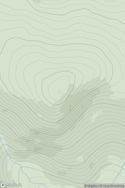
0
Ascents
Braemar to Montrose
0
928.6User Activity
No recent Activity
0
Ascents
Leitrim and W Cavan
0
452.0User Activity
No recent Activity
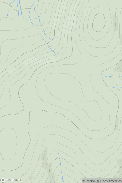
0
Ascents
Lake District N
0
627.0User Activity
No recent Activity
0
Ascents
Lake District S
0
187.0User Activity
No recent Activity